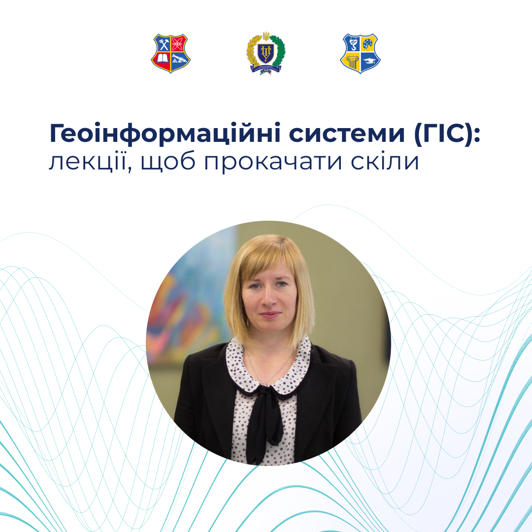
Geographic Information Systems (GIS): lectures to improve your skills
Design is not only about visuals, but also about smart data!
The Department of Design of the Zaporizhia Polytechnic National University invites you to improve your skills in the field of Geographic Information Systems (GIS) at modern lectures!
GIS is a modern computer technology designed to collect, store, analyze, manage and visualize spatial (geographic) data.
The invited expert is Iryna Tkachenko, associate professor of the Yuriy Kondratyuk Poltava Polytechnic National University. We will talk about how maps, numbers and creativity are combined. We are waiting for two powerful lectures!
Lecture 1. GIS technologies in spatial planning, architecture and construction — we will understand what geomatics is, how GIS developed and how they differ from the usual CAD. Let’s talk about the laws and real cases of using geospatial data.
Date: February 25
Time: 11:30–13:00
Lecture 2. GIS tools in design methodology — pure practice: open tools for planning in Ukraine, analysis of transport accessibility and assessment of territories for development. As a bonus — we will analyze vertical design using the design mark method. This is a must-have for the modern designer, architect, builder and those who want to be “in the know” of the digital transformation of cities.
Date: February 27
Time: 10:30–12:00
Links to both lectures:
https://us04web.zoom.us/j/7882376389?pwd=SPvMLyKjHR2isoUQeCqBuUjULKNHNc.1
Conference ID: 788 237 6389
Access code: 4Ub5P2
Join us!